Is this route for you?
- ✔ Ideal for cyclists comfortable riding 60–90 km per day
- ✔ Some experience with navigation (GPX recommended)
- ✔ Suitable for touring or gravel bikes
- ✖ Not ideal for total beginners (try a shorter section first)

- A rolling first day with steady climbs, but a manageable 64mk overall to get you warmed up
- Visit two breathtaking lighthouses set on the edge of Brittany – Phare du Petit Minou and Phare de Kermorvan
- Quiet roads and small coastal villages lead to the peaceful harbour of Lanildut

- A slightly longer day with rolling terrain and exposure to the wind – more demanding than Day 1
- Cross the Aber Benoît and Aber Wrac’h estuaries, two of the most distinctive landscapes in this region
- Remote coastal roads and big sea views lead you into Plouguerneau, known for its lighthouse coastline

- The longest day of the route, but with a gentler profile – longer distances without the sharp climbs of earlier stages
- Coastal roads open out to expansive sea views, with granite boulders scattered along the shoreline and in surrounding fields
- A steady, flowing ride leads into Roscoff, a lively harbour town marking a shift in atmosphere
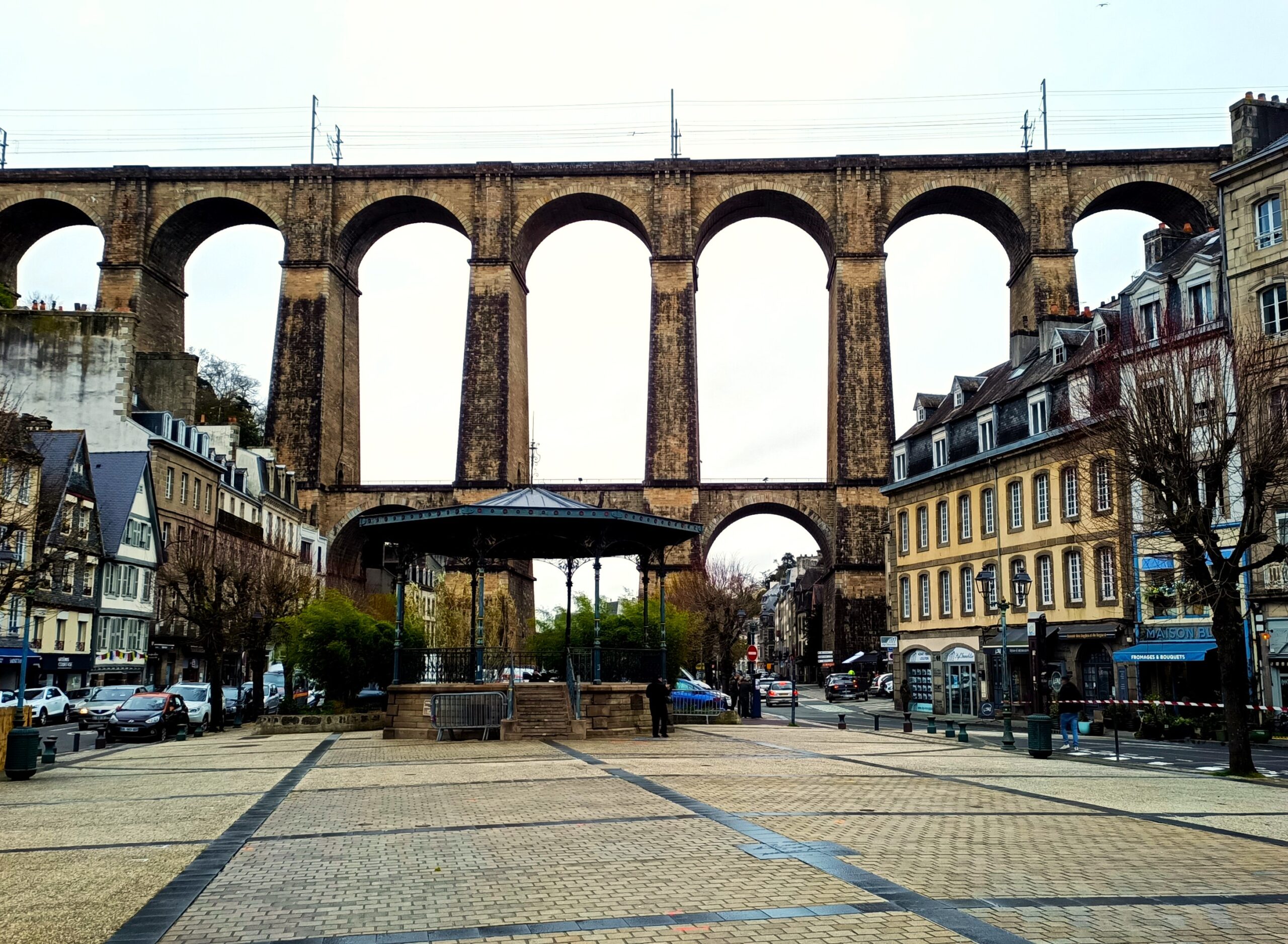
- A more demanding day, with climbs returning – particularly around Morlaix and along the exposed coastal sections
- Pass through Morlaix and its estuary, one of the most distinctive towns on the route
- A standout coastal stretch around Plougasnou, with rolling roads, big sea views and a more rugged, dramatic feel

- A well-balanced day, with a gentler start before more varied terrain along the coast
- A smooth ride into Lannion on a former railway line, followed by a lively town centre and market
- The route reaches the Pink Granite Coast, with its distinctive rock formations, before turning inland to Tréguier

- A moderately challenging day with rolling terrain, but shorter and less intense than previous stages
- Cross two impressive estuaries, adding variety and scale to the ride
- Pass through Paimpol, a lively harbour town, before continuing through countryside and seaside villages to Binic
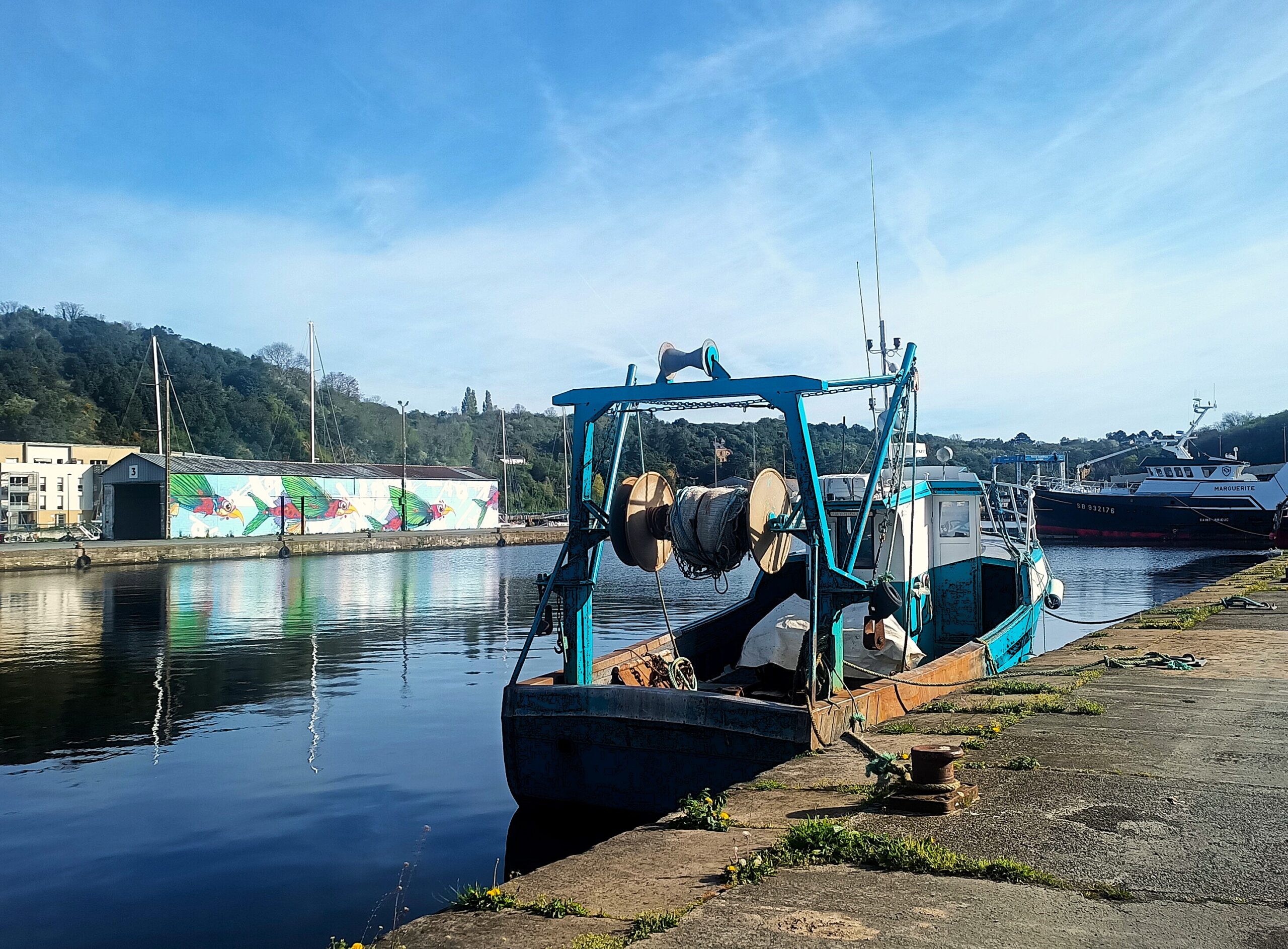
- One of the more physically demanding days, with a big descent into Saint-Brieuc followed by a steep climb out
- A scenic cycle path on former viaducts follows Saint-Brieuc, before the route returns to the road, linking a series of coastal towns
- Finish on the Cap Fréhel peninsula, one of the most dramatic and iconic landscapes on the Breton coast
- A more varied final day, with a mix of coastal, forest and riverside riding
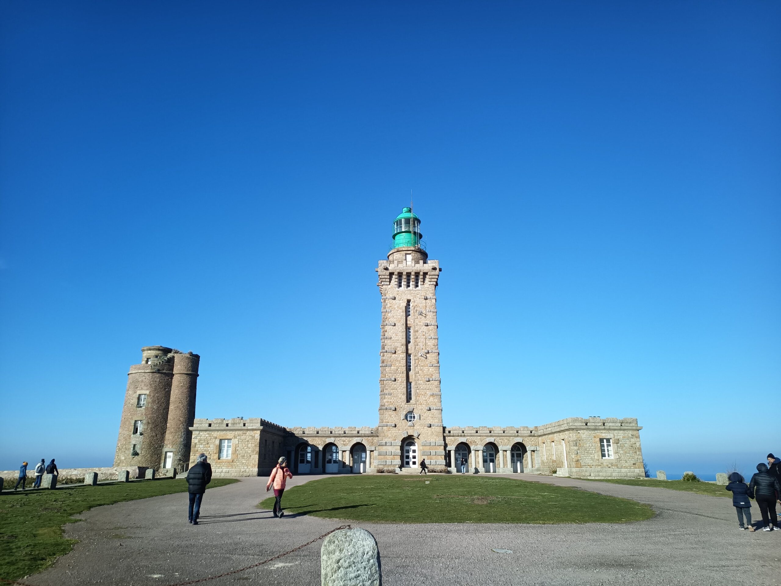
- Pass the Cap Fréhel lighthouse before following sections of old railway through forested terrain
- Cross the Rance estuary and pass through Saint-Suliac, before finishing at Saint-Malo station
Shorter Alternatives
Make use of the BreizhGo railway line that runs the length of the peninsula and opt for a shorter bikepacking trip of 2-4 days. For those short on time or new to bikepacking, these shorter sections offer a more accessible way to experience the route.
Distance:
255 km
Elevation:
2100 m
Start:
Brest train station
Finish:
Morlaix train station
Duration:
3–4 days
Train (Rennes → Brest):
~1h50 (direct TGV)
A rugged opening stretch of the route with remote coastline and lighthouse views, easily split over 3–4 days with stops in Lanildut and Plouguerneau.
Distance:
149 km
Elevation:
1460 m
Start:
Morlaix train station
Finish:
Paimpol train station
Duration:
2-3 days
Train (Rennes → Morlaix):
~1h30 (direct TGV)
A varied section linking estuaries, coastal paths and the Pink Granite Coast, with natural overnight stops in Lannion or Perros-Guirec.
Distance:
180 km
Elevation:
1750 m
Start:
Paimpol train station
Finish:
Saint-Malo train station
Duration:
3-4 days
Train (Rennes → Paimpol):
~2h–2h30 (via Guingamp)
A scenic section passing through coastal towns and headlands, best broken up around Saint-Brieuc or near Cap Fréhel before reaching Saint-Malo.