
Distance: 9.6 km
Duration: ~2h30
Difficulty: Moderate – Hard
Terrain: Sand and sea, rocky paths, tarmac and town
Best season: April–October
Start/Finish: Pointe du Chevet, Saint-Jacut-de-la-Mer
Explore the full loop with distance and route overview. Click through to Komoot if you would like to follow it on the app.
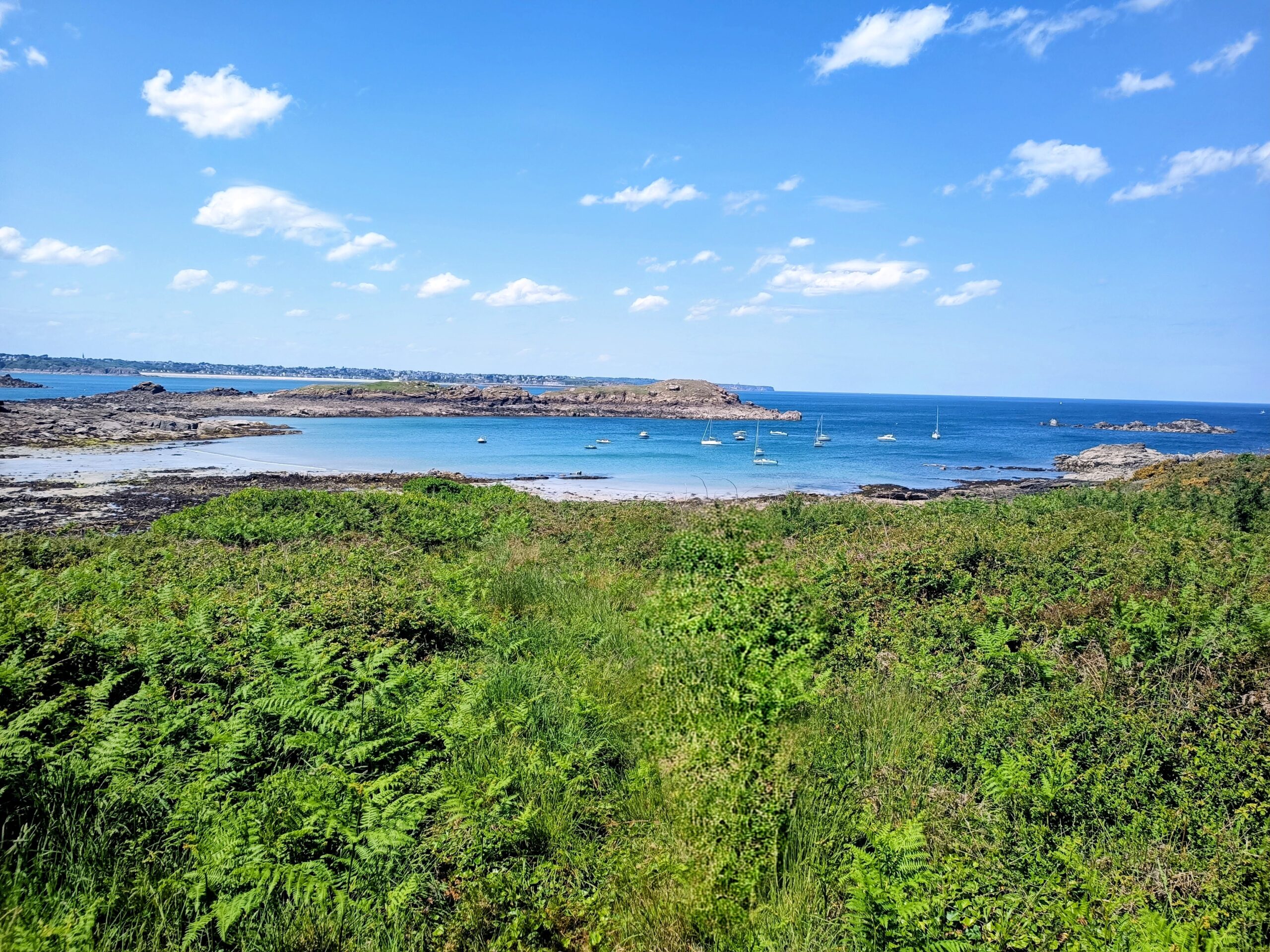
The Île des Ébihens sits just off the narrow peninsula of Saint-Jacut-de-la-Mer, along Brittany’s northern coast. At low tide the sea retreats to reveal wide sand flats stretching across the bay, briefly connecting the mainland to the island.
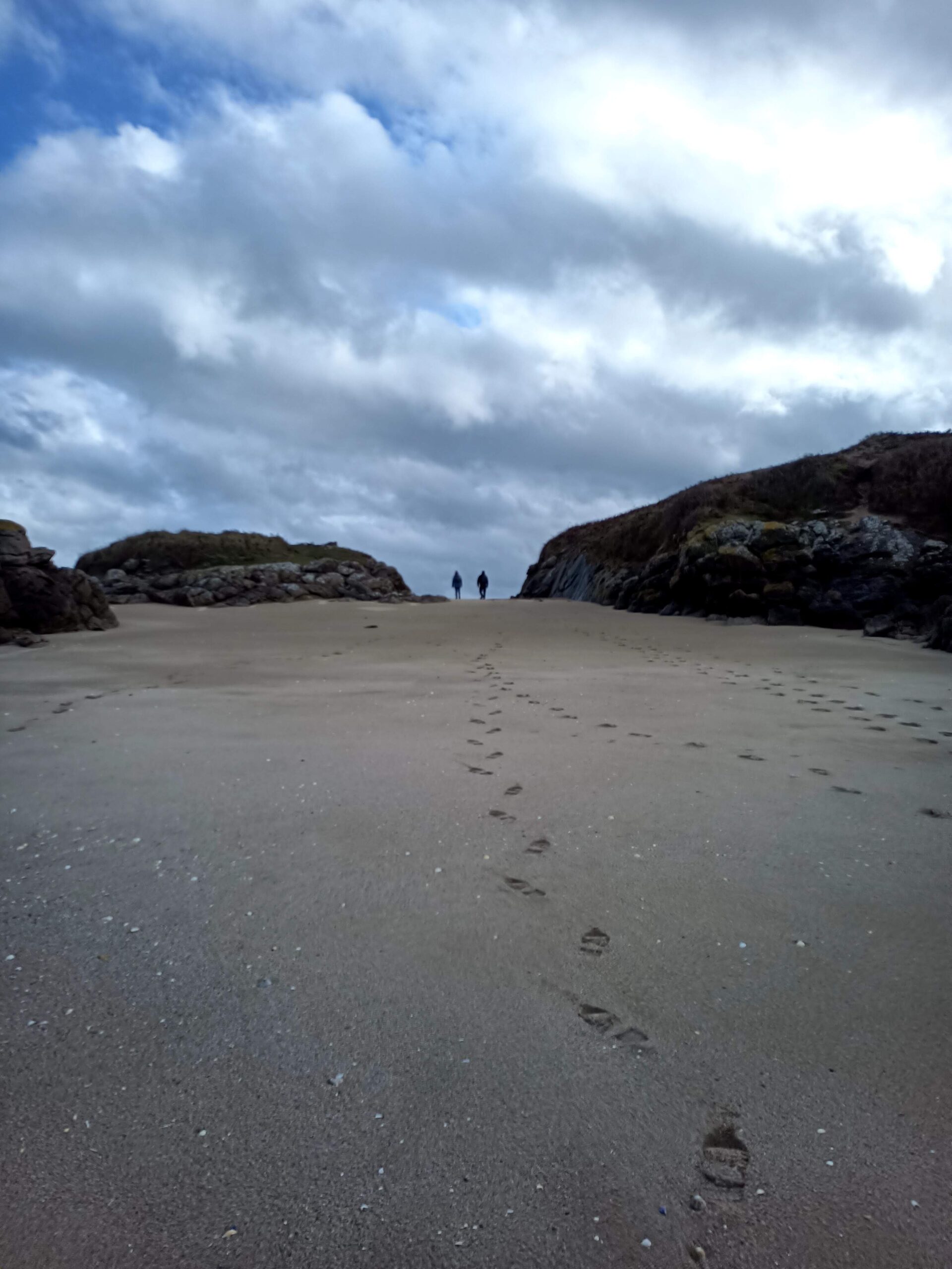
This tidal crossing creates one of the most unusual coastal walks in Brittany. For a few hours each day the sea retreats to reveal a sandy path across the bay, briefly connecting the mainland to the island. You can walk across the sand to reach the island, explore its wooded paths and quiet beaches, and return before the tide slowly covers the route again.
The hike begins at Pointe du Chevet, just north of Saint-Jacut-de-la-Mer. It unfolds in two parts: the tidal crossing to the Île des Ébihens and a coastal loop around the Saint-Jacut peninsula. The order of the two sections depends entirely on the tide.
This hike involves a tidal crossing to the Île des Ébihens. The island is only accessible at low tide and the route becomes completely submerged as the tide returns.
Always check tide times before starting. Begin the crossing while the tide is still falling and return no later than 1 hour 30 minutes after low tide to avoid being stranded.
Route Description
The timing of this hike depends entirely on the tide. At low tide the sea withdraws to reveal a broad sandy passage leading to the Île des Ébihens. Just a few hours later the same area is completely submerged. Use a website like marée info.
For the safest crossing, head out toward the island as the tide is still falling. From the car park descend carefully over the rocks to the beach before beginning the walk across the sandbanks. If there is a low level of water still you can cross in sea shoes or take your shoes off and feel the sand between your toes.
Once on the island you can follow the footpath around its wooded interior and rocky shoreline. Allow time to explore the small coves and beaches before beginning the return crossing.
After returning to the mainland, the second part of the hike loops around the Saint-Jacut-de-la-Mer peninsula, passing quiet beaches and village streets before returning to Pointe du Chevet.
1. Pointe du Chevet Start
Begin at Pointe du Chevet, just north of Saint-Jacut-de-la-Mer. From here descend carefully down steps and rocks to the beach below.
2. Crossing to the Island
At low tide the sea withdraws to reveal a wide sandy passage leading out to the island. Follow the exposed sand, keeping an eye on the water level as you go.
3. Arrival on the Island
Once on the island the landscape quickly changes to sheltered woodland and low scrub. A narrow footpath leads around the island’s rocky edges and hidden coves.
4. Beaches & Coastal Views
Continue across the island. Small beaches and rocky outcrops offer views back toward the Brittany coast. Plage de la Chapelle is one of the best spots to pause and explore.
5. Return Across the Sand
From the edge of the island, turn around and follow the path back the way you came. Hidden from view, the sea moves back into the bay, so allow enough time to walk back safely.
6. Peninsula Loop
Back on the mainland, continue the walk around the narrow Saint-Jacut-de-la-Mer peninsula, following quiet coastal paths and village streets before returning to Pointe du Chevet.
Points of Interest
- La Tour des Ébihens: Hidden among the island’s trees stands this granite defensive tower built in 1696 as part of the coastal defence system protecting Saint-Malo. One of several watchtowers along the Emerald Coast, it once helped monitor ships approaching the bay.
- Plage de la Chapelle: One of the most sheltered beaches on the island, often used as a natural anchorage for small boats. At low tide the sand stretches far into the bay, creating calm waters and wide views back toward the mainland.
- Pêche à Pied (Fishing on Foot): At low tide you will often see locals scattered across the sand searching for shellfish – a tradition known as pêche à pied. The retreating tide reveals razor clams, cockles and small crabs hidden beneath the sand and rocks, making this stretch of coastline one of the most popular places in Brittany for shore fishing.
- Saint-Jacut Peninsula: The return loop follows the narrow peninsula of Saint-Jacut-de-la-Mer, where small coves, sandy beaches and quiet village streets offer a contrast to the wild tidal landscape of the island.
- L’Abbaye Saint-Jacut-de-la-Mer: Founded in the 5th century, this Benedictine monastery still dominates the centre of the peninsula. Today it functions as a retreat and cultural centre, hosting exhibitions, concerts and public events.
Practical Tips
Tides – Always check tide times before starting. Begin the crossing while the tide is still falling and return no later than 1½ hours after low tide.
Footwear – Expect wet feet on the crossing. Sand, rocks and shallow channels are common.
Safety – If you miss the return window, remain on higher ground near the island’s vegetation until the next low tide.
Water & Snacks – Bring provisions. There are no facilities on the island.
Shorter Alternative
Distance: 4.7 km
Duration: ~1h30
Difficulty: Easy
Start/Finish: Pointe du Chevet, Saint-Jacut-de-la-Mer
Depending on the timing of this hike you may only have time for an out-and-back to the island. A worthwhile and rewarding hike unlike many others. If you have time to go for a swim on the beach at the very end of the island I highly recommend it.